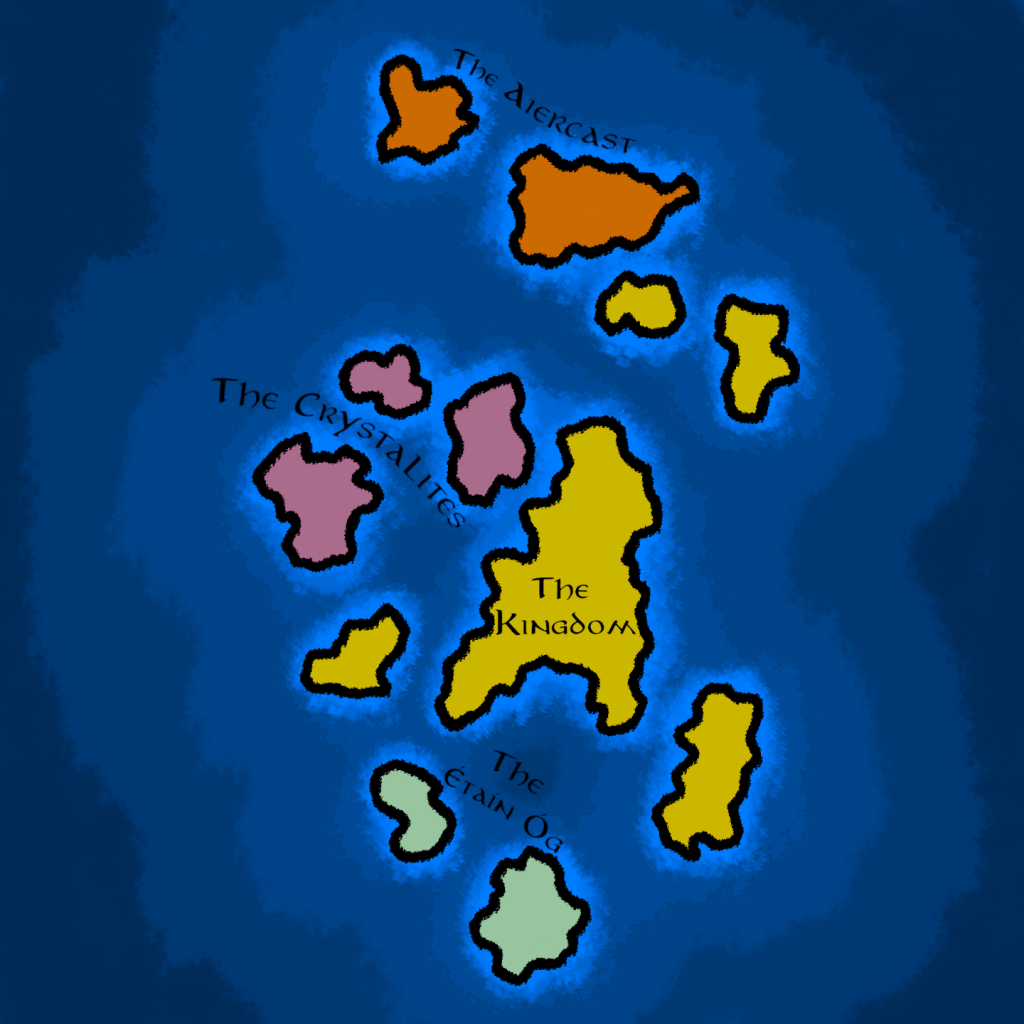
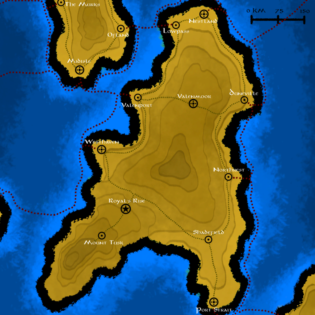
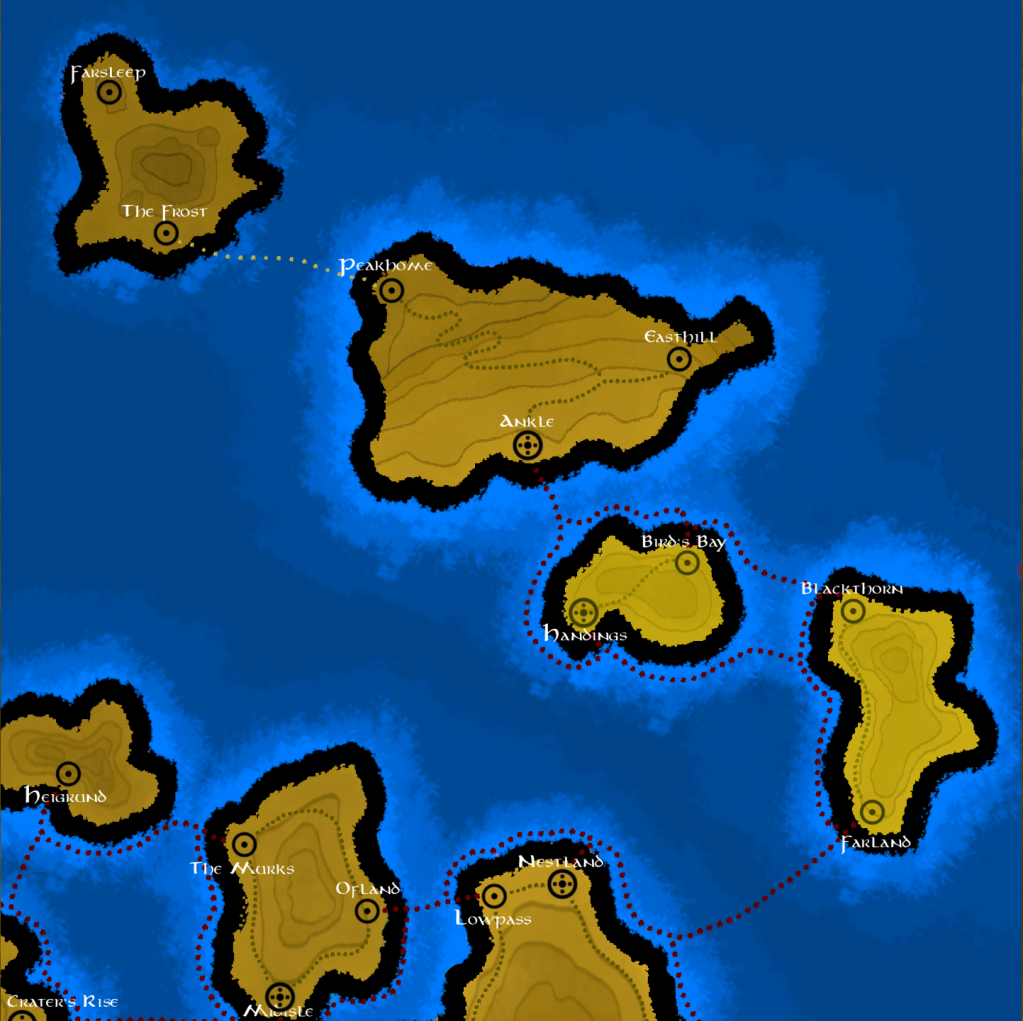
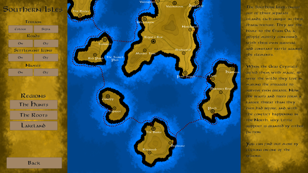
As part of personal studies to improve my technical skills and worldbuilding depth, I developed an interactive map for another continent as part of the world I created for my players in D&D. The goal for this project was to create an easy-to-use tool for any Dungeon Master to navigate the areas of a map, familiarize themselves with the setting, and make an easier start to the preparation of a campaign.
I am now in the process of fleshing every settlement out with their local details and relevance. Figuring out the population, culture, and economic importance.
Following is an excerpt from a WIP settlement:
Dunvil
Small Village: Population ±1,000 (Human, Dwarf, Earth Genasi)
Trade: Lumber, Stone (export from Valenmoor), Foraged Goods, Fish, Vehicle Repairs
Dunvil started off as a simple up-river homestead for the ships that trade along the coast to do repairs at or rest before carrying on their cargo. In its nature, it has remained very humble and is accustomed to people coming and going. In fact, not a lot of people stay in Dunvil, and they’ve made peace with this fact. They are reliant on the trade with the mountain folk, as well as the resting port for smaller ships traversing between The Vale and the Northlands.
Lately, due to the war and the rise of the Geas Crystals, trade has reduced significantly, and the prosperity of Dunvil has fallen into a state of careful rationing to last the winter, and to maintain as much of a neutrality as affordable. Roads have been overgrown, making caravans less frequent, with most of the cargo heading towards the West Waters and the conflicts there.